
Situated on the border between England and Scotland, Berwick-upon-Tweed was of strategic importance during the centuries-long hostilities between these two countries. Thus, defensive walls were first built around the town during the thirteenth century, when Edward I took Berwick from the Scots. However, the fortifications were modernised between 1558 and 1570 by Elizabeth I, who was fearful of the ‘Auld Alliance’ between Scotland and France, though her defenses never stood the test of battle, as her successor inherited both Scotland and England as James VI/I.
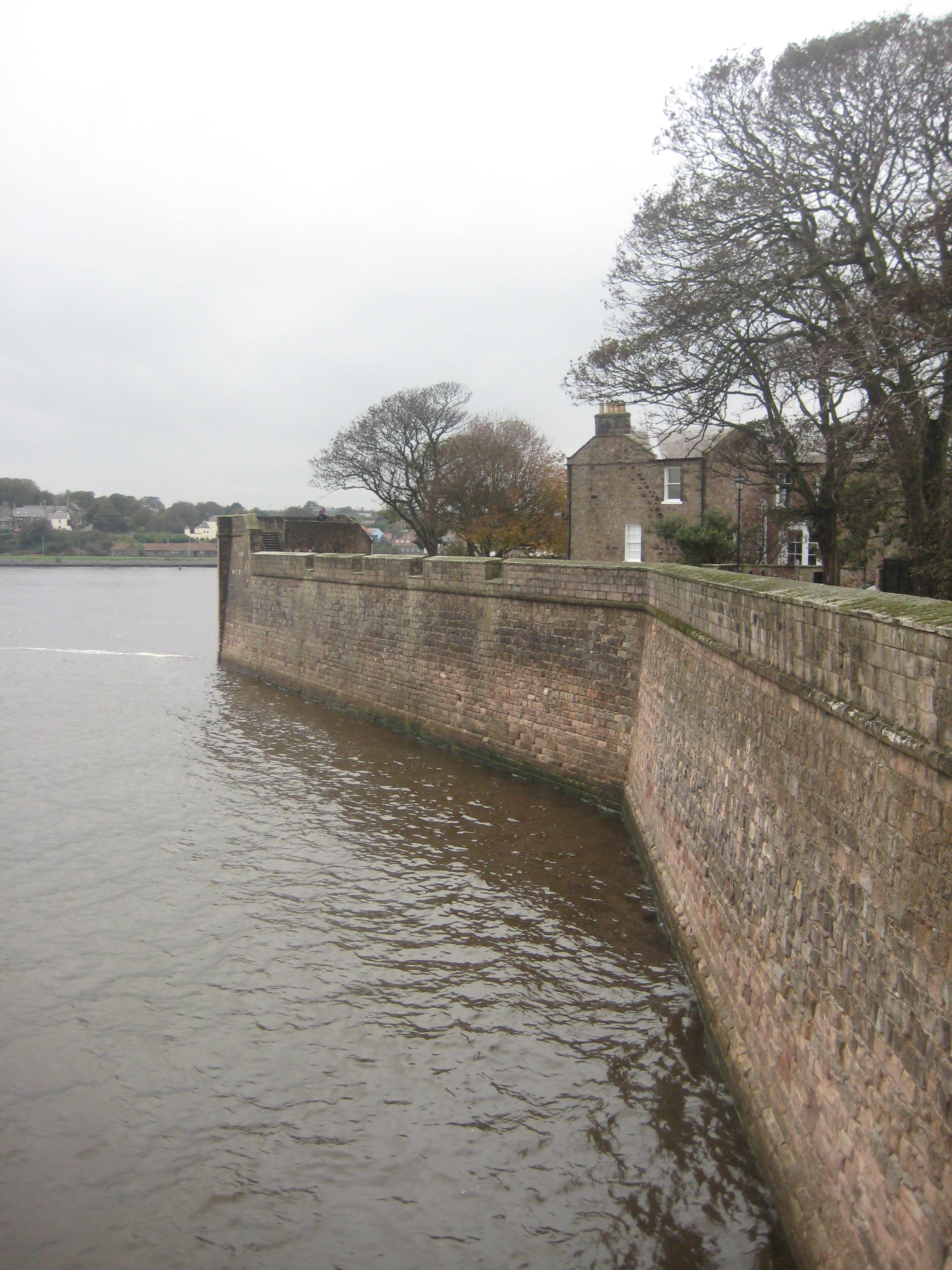
The defensive walls of Berwick are the only complete sixteenth century examples in the whole of Britain, and remain strikingly imposing to this day, as I found out when visiting the town last autumn.
The walk began under the quay walls, which affords an impressive view of the old bridge that was built in 1624 to carry the Great North Road which ran from London to Edinburgh across the River Tweed. 
The quay itself was a thriving commercial area in the 18th Century, largely on account of the local salmon trade. A notable feature on the quay is the Shoregate (or Sandgate), complete with its original wooden doors dating from 1760. 
Ascending a set of stone steps on the other side of the gate, the visitor finds themselves above the quay walls. A little way along is the Main Guard, an 18th Century building that housed the small body of troops who patrolled the town’s defences, whilst a sentry would be permanently positioned on the porch. The building was originally located on Marygate, the main route through the town on the road to Scotland, but it was moved to its current location in 1815, when it ceased to play a role as a guardhouse, becoming instead a store for the coastguard.

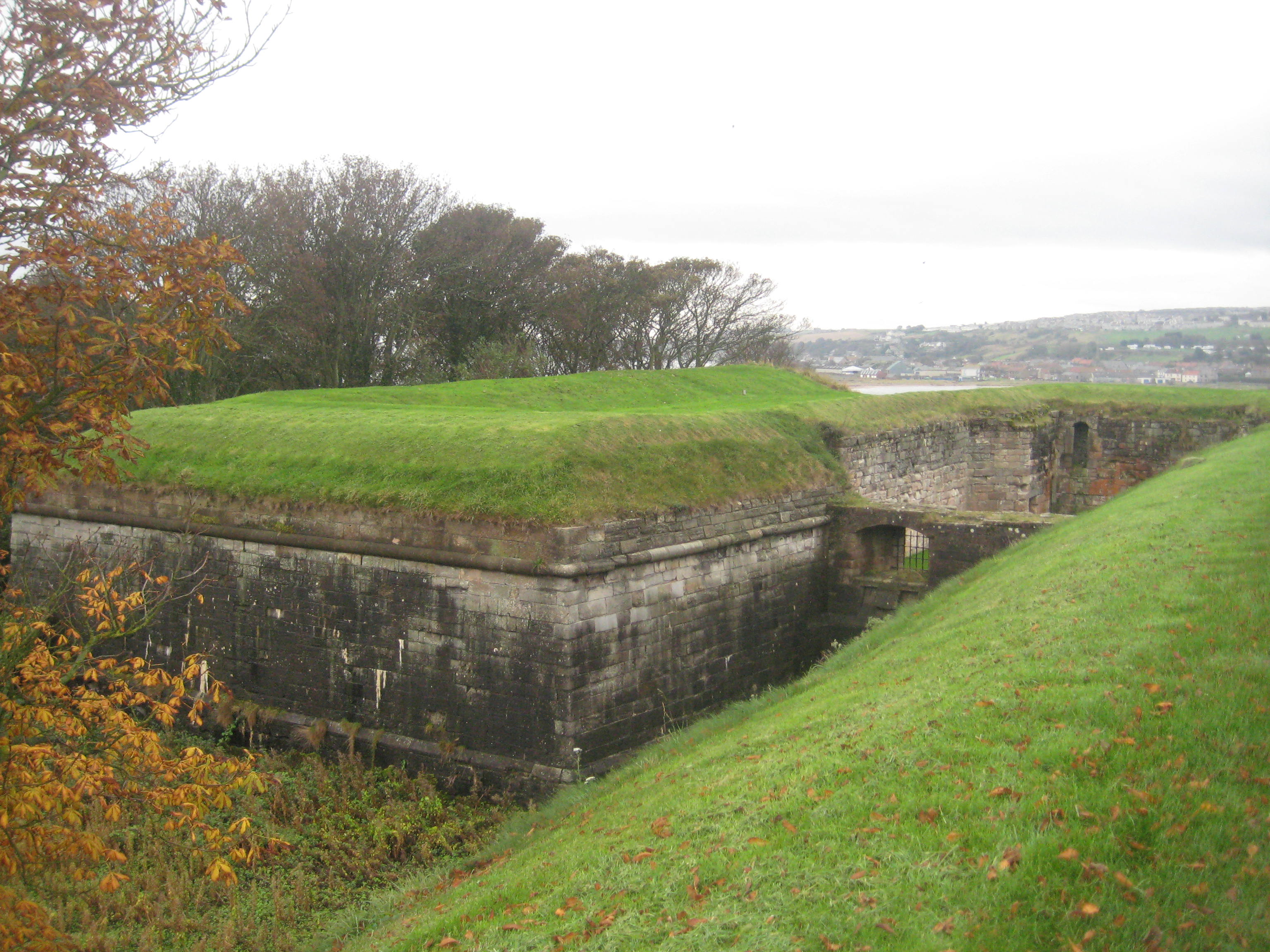
The next feature in Berwick’s fortifications is Coxon’s Tower, which was redesigned by the English commanders who captured the town from the Scots in 1482. The tall medieval tower was lowered to form a two-storied platform for guns, and was called ‘Bulwark in the Sands’. In the 18th Century it became known as Coxon’s Tower, with the top level being modified to allow for an infantry parapet, whilst the guns were placed along the river wall, where they were less susceptible to sea damage.
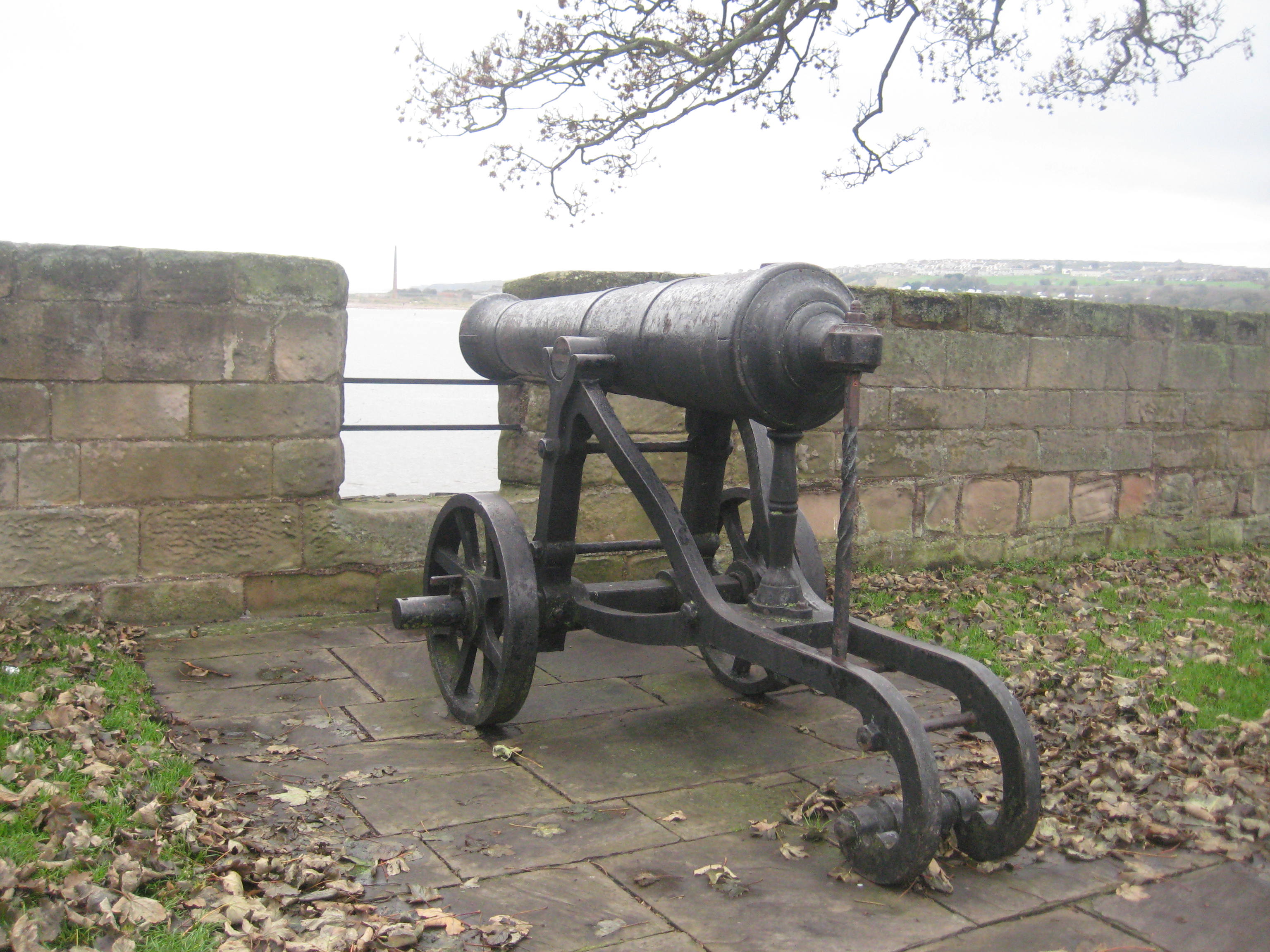
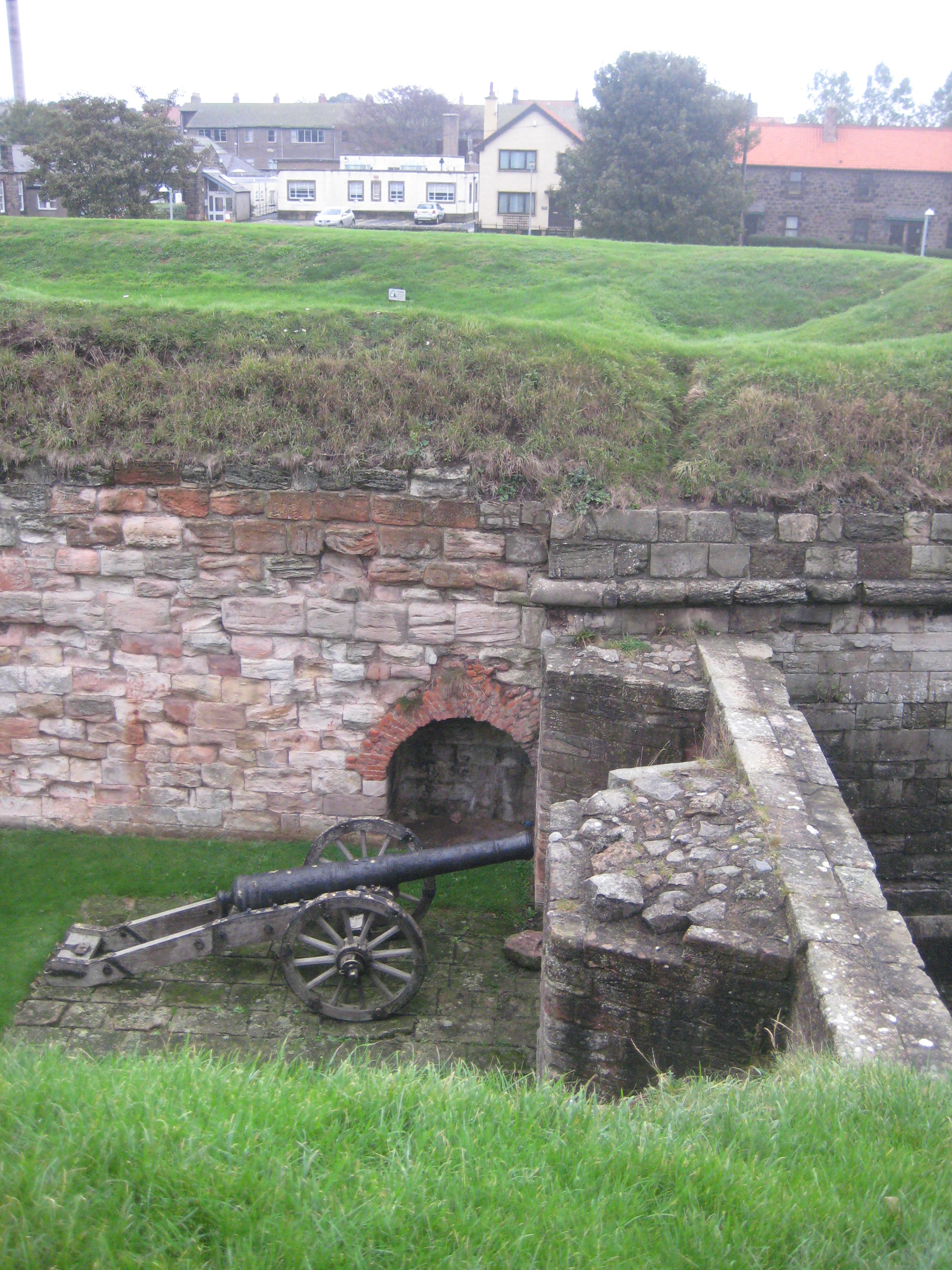
Fisher’s Fort was the location of a battery of six cannon in the 18th Century, which could fire through the gaps in the parapet wall. The cannon present in one of the gun positions today is Russian, captured after the siege of Sevastopol in 1855 during the Crimean War.
The construction of King’s Mount was never completed, though it affords an excellent vantage point over the mouth of the River Tweed. It was possibly named after James VI of Scotland, who passed through Berwick on his way to London to take the English throne in 1603.
Further along the path a Gunpowder Magazine is located. Built in 1750, it was specifically designed to keep the gunpowder from getting damp, and so it could be stored safely to prevent accidents, with a high wall to keep out intruders.
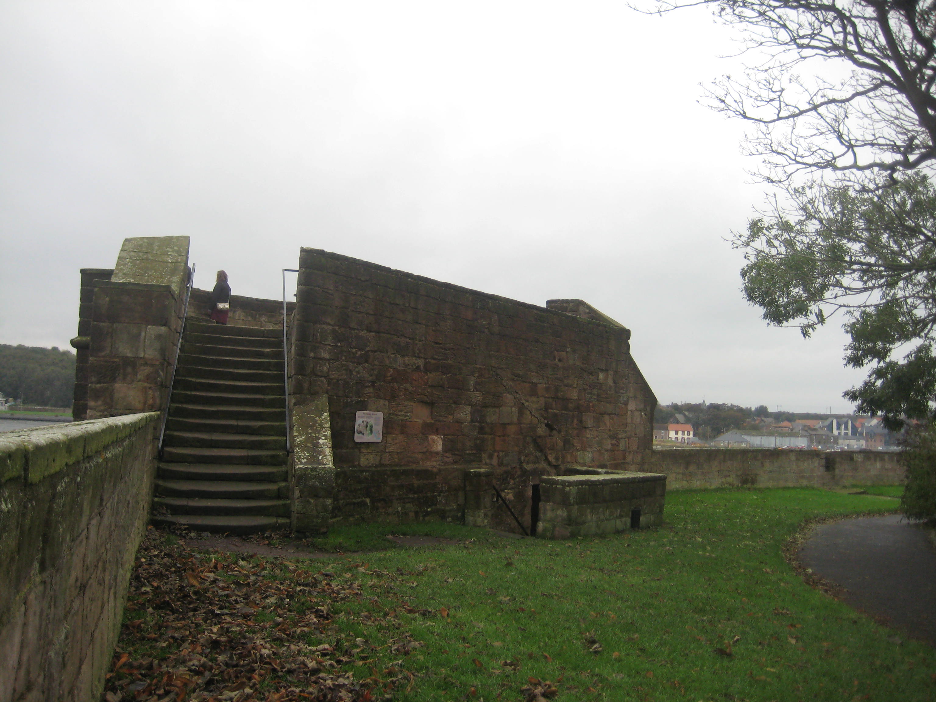
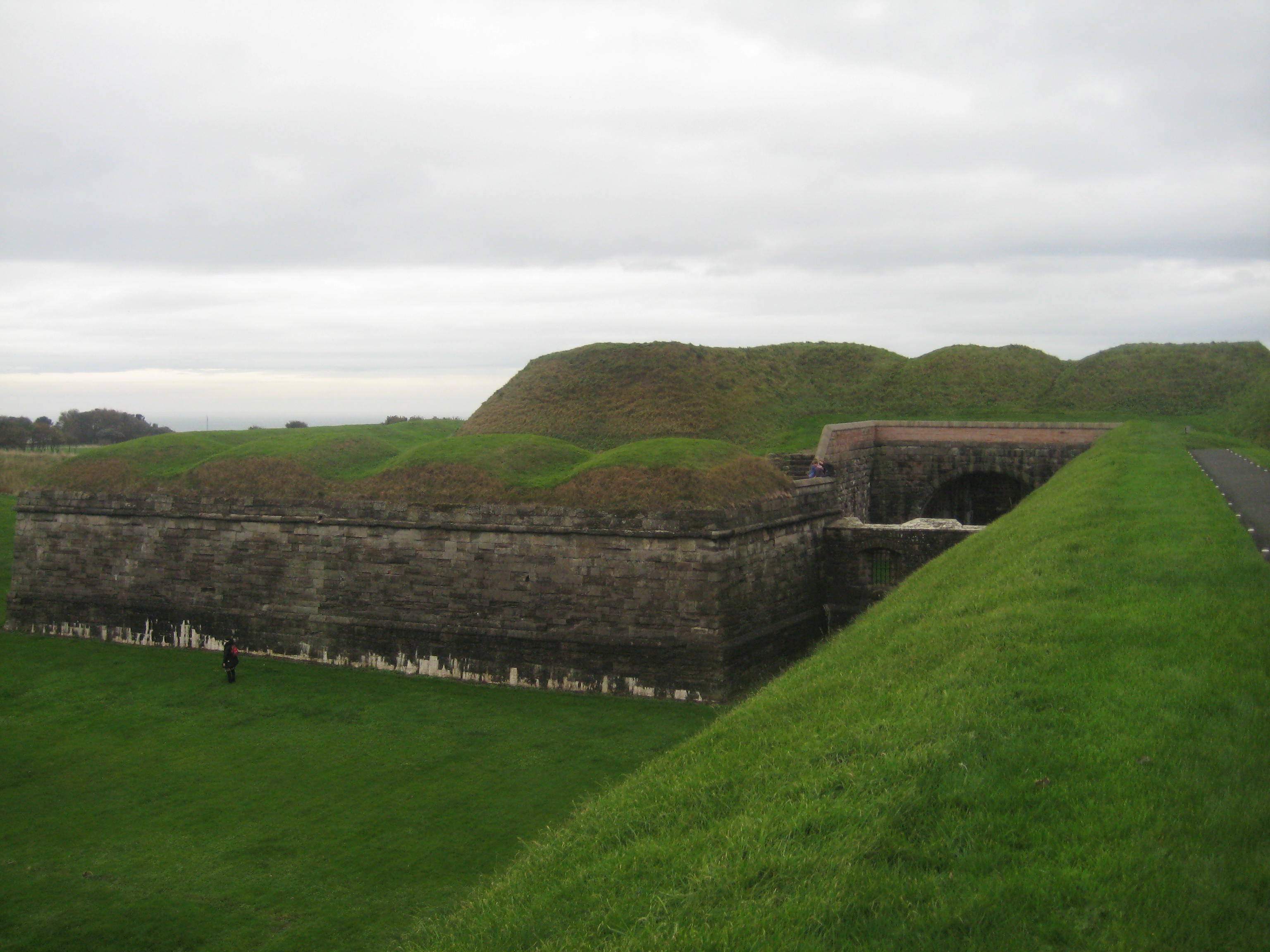
Opposite is a bastion (meaning a gun platform) that was built in the 16th Century. It was named the Windmill Bastion on account of it being the location of a windmill in its early years.
Used for the siting of coastal defence guns in Victorian times, the existing round concrete structures were used to support training guns for the volunteer soldiers who formed the Berwick-upon-Tweed Artillery Volunteer Corps, founded in 1859. In World War Two, the Windmill Bastion was the location of anti-aircraft guns.

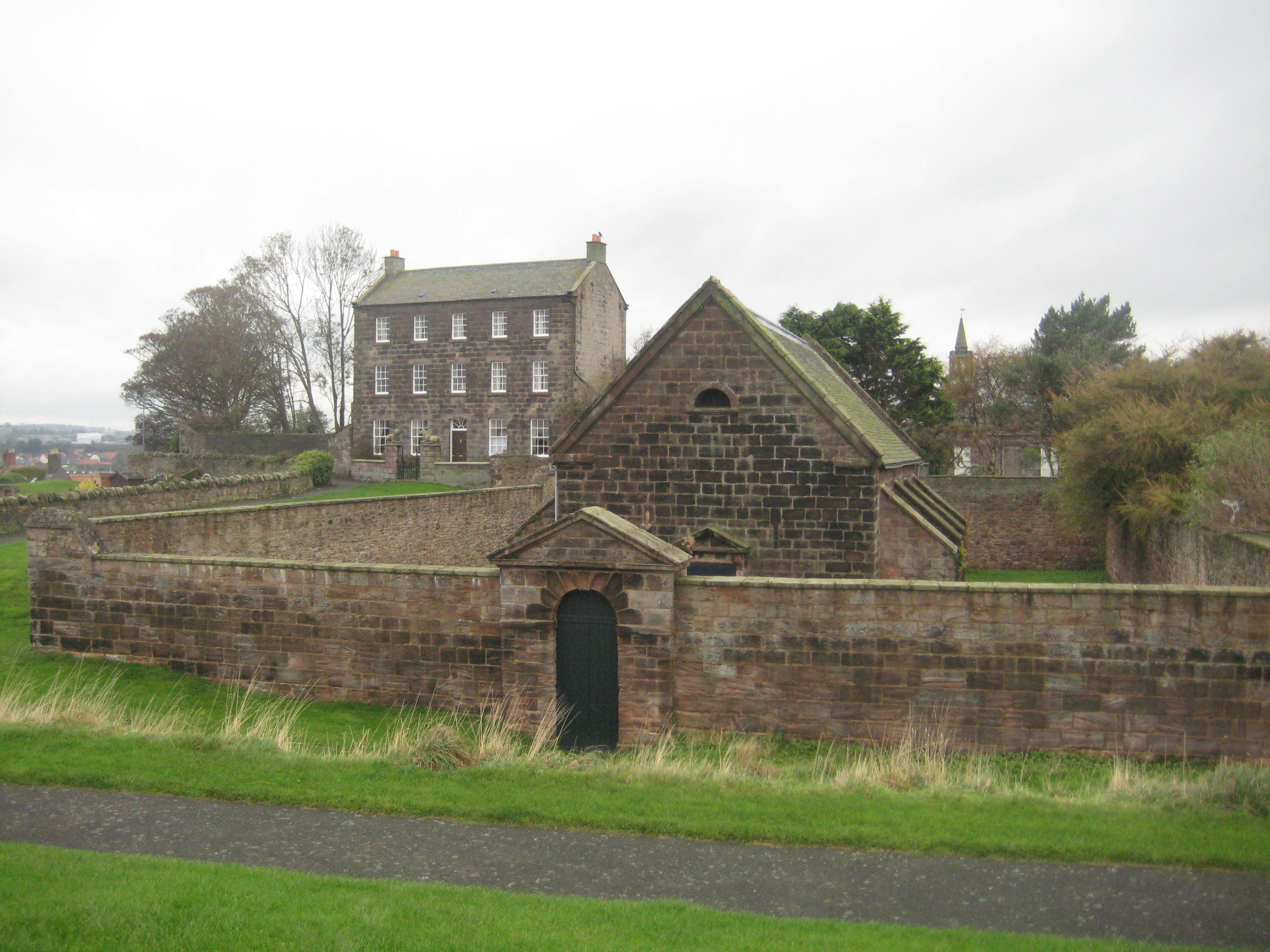
Just beyond the Windmill Bastion is the Barracks, which were started in 1717, two years after the Jacobite Rebellion, in order to deter further uprisings by the Scots. They were completed in 1721 and are the oldest in Britain. The design was based on three blocks facing onto a central parade ground, to accommodate 600 men and 36 officers. They remained in use for over 200 years, most recently as the base for The King’s Own Scottish Borderers. The barracks are now a museum.

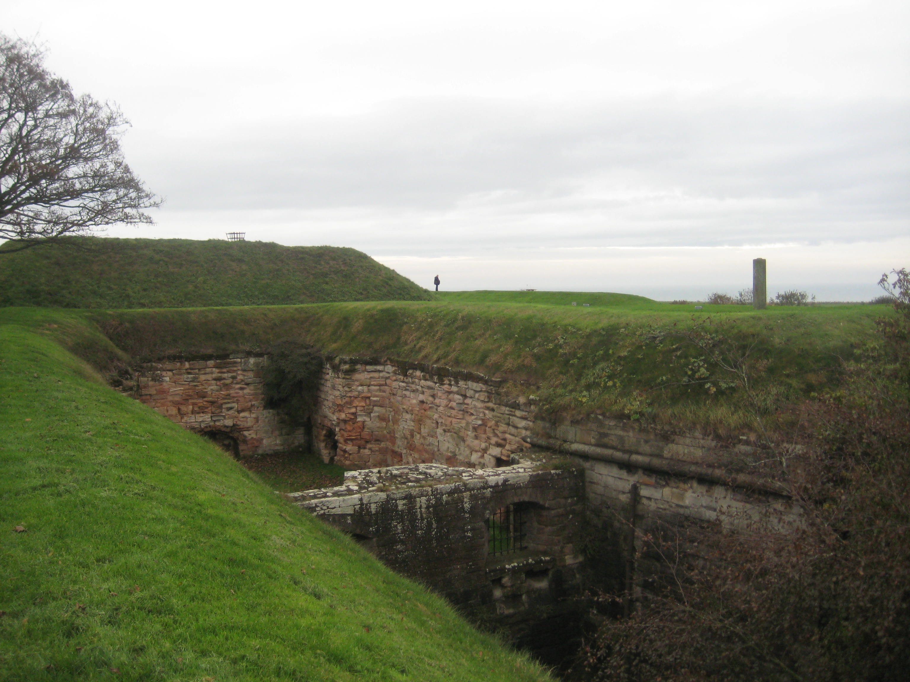
The north-west corner of the walls is the location of the Brass Bastion. The plans for its construction frequently changed, and the defences were altered on numerous occasions, with the original Elizabethan flankers (sunken stone chambers) being too narrow to allow two guns to operate, so that they had to be widened.
Originally called Middle Mount, the adjacent structure to the Brass Bastion was renamed to honour William Augustus, Duke of Cumberland, who passed through the town on his way to the battle of Culloden in 1746. The Cumberland Bastion would have had smaller guns in the flankers to defend adjacent bastions, while on the top the guns were able to fire at more distant enemies.
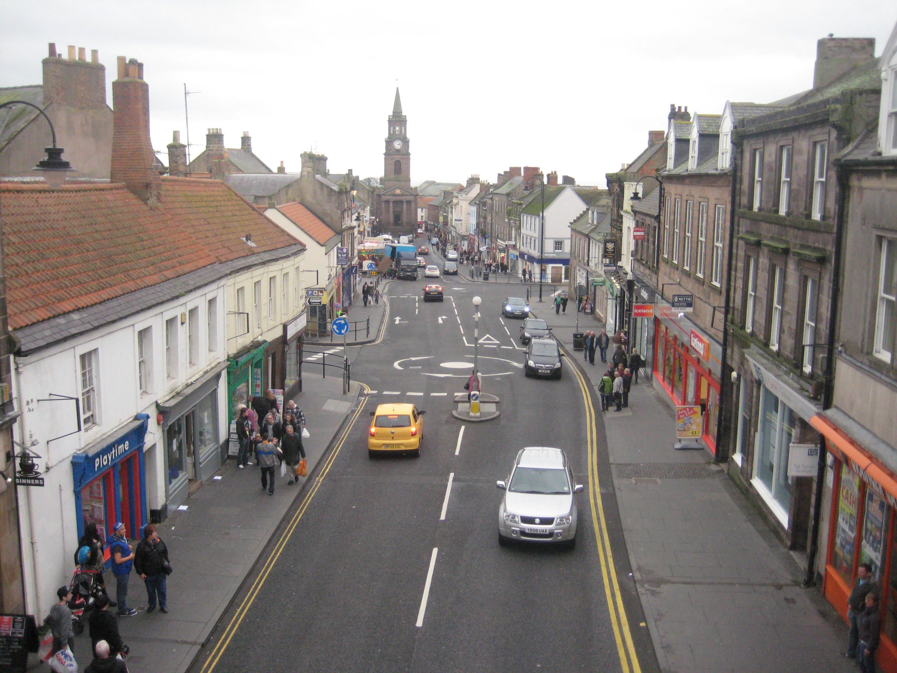
Turning towards the town, the wall passes over Scots Gate. This was the gate through which the main road to Scotland ran. It originally dates from 1590, but was rebuilt and widened in the 19th century. The gate affords a good view of Marygate towards the town hall, which was built in 1771, and used for administration, as a courthouse, gaol, butter market and a dance hall.
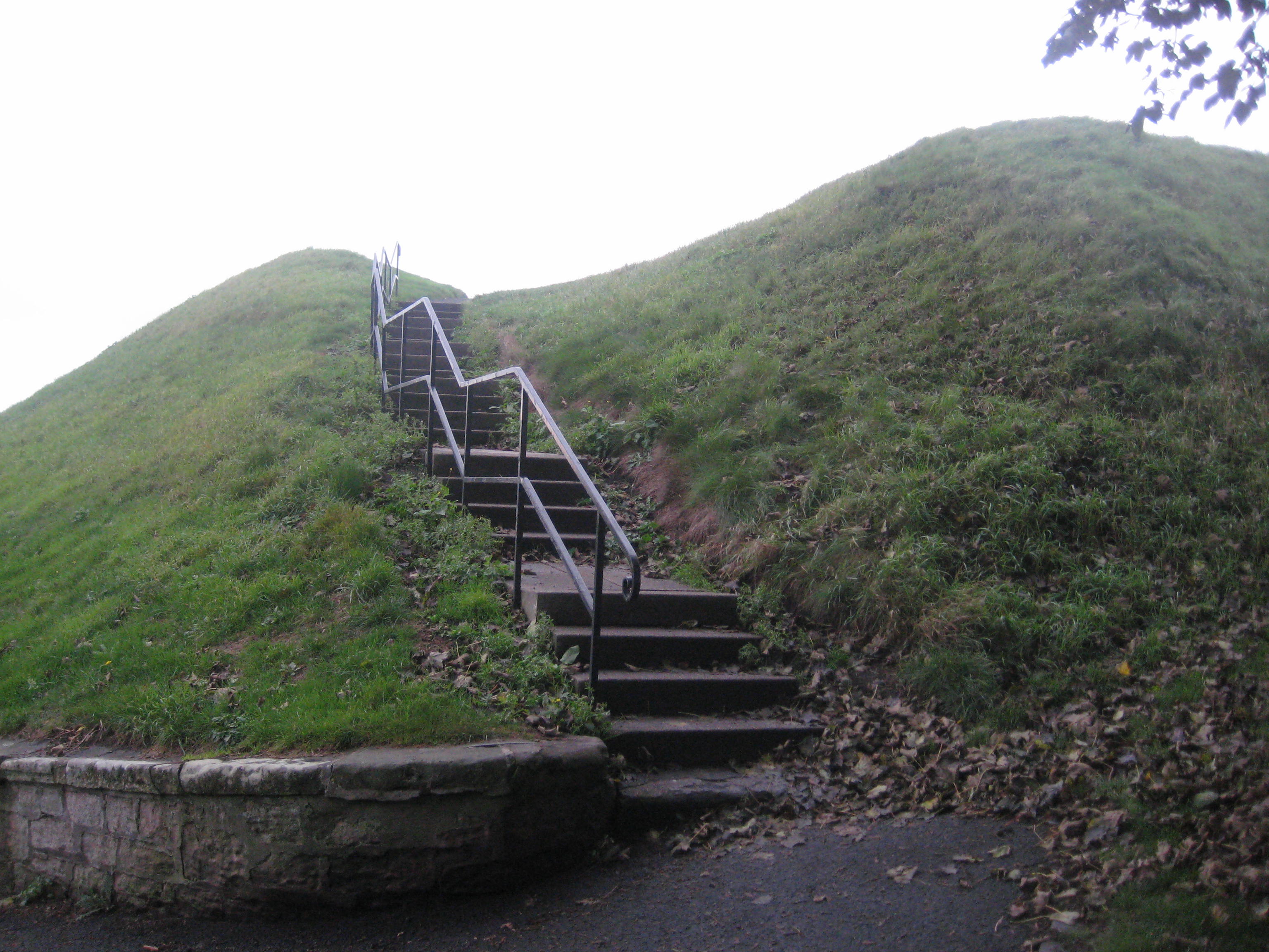
The final bastion is Meg’s Mount. Its name derives from the fact that cannons were referred to as ‘Megs’, and it would have allowed for one ‘flanker’, it being a half-bastion.
Meg’s Mount stands 100m above the River Tweed, and affords an excellent view of the Royal Border Bridge, a Victorian construction that continues to transports the East Coast railway today. 
* * * * *
The sources for this article include the ‘Welcome to Berwick upon Tweed: Map and Mini Guide’ and ‘The Elizabethan Fortifications of Berwick upon Tweed’ by the Berwick upon Tweed Civic Society (both available from Tourist Information on Marygate), as well as the information plaques on the walk itself.
All the photographs are the author’s own.

